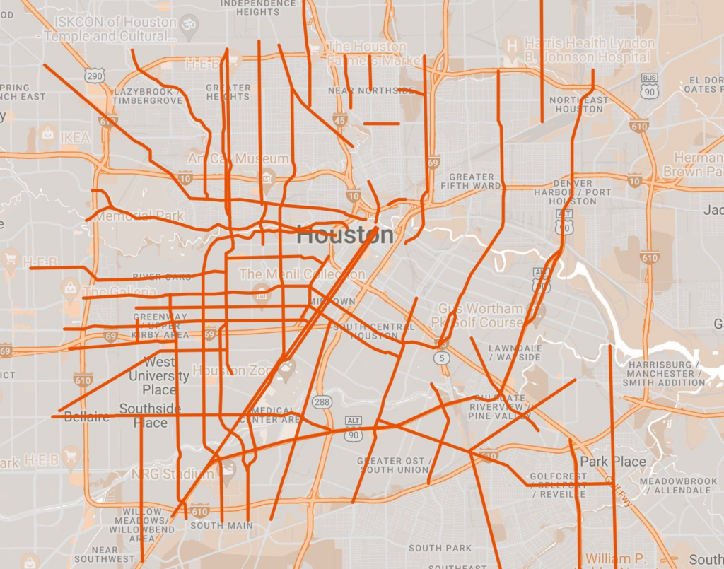
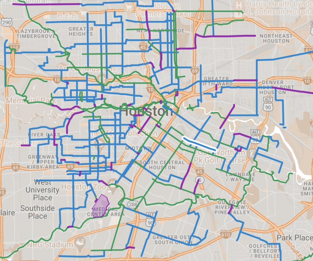
Often, when helping people with their first few routes outside a vehicle, the most important thing to teach them and consider is not the route itself, but actually the roads that you absolutely should avoid being on. An attempt at mapping some of those inside 610:
And after that, the most important thing to learn along a route is how and where to cross these major barriers. In some areas between major roads, there are plenty of lights that aren’t also at major roads. As I’ve lived in Houston longer, I’ve chosen housing in these areas.
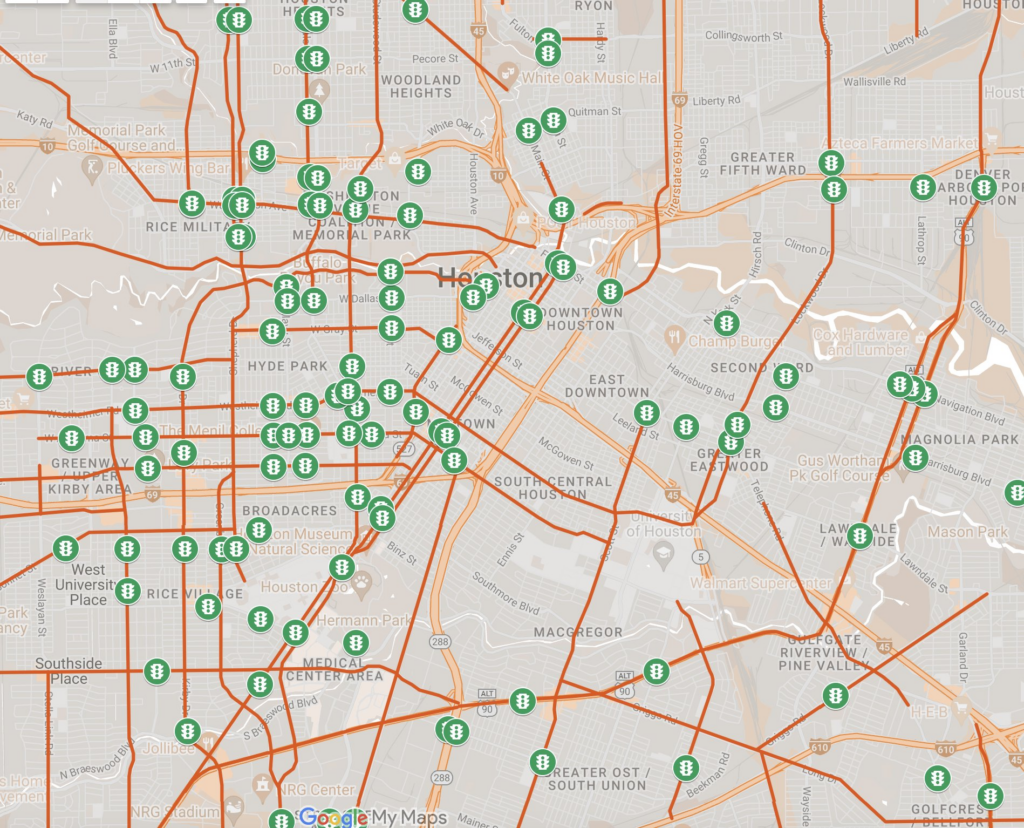
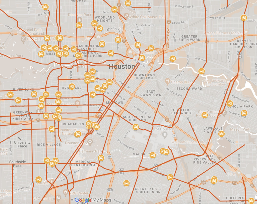
But in others, the only choice is to go way out of the way or cross without a light, which can be nearly impossible at rush hour and extra dangerous in the dark.
So while having a high-comfort bike infrastructure map is helpful–it is good to know these pieces are here if they can be part of your path–grocery stores, jobs, parks, doctor’s offices, and houses are all over the city! You would never give a driver this map.

Using a bike, ebike, or scooter to get around requires many more routes than just those provided by the existing bike network–to meander through the network of highways and unsafe roads to find those safe crossings.
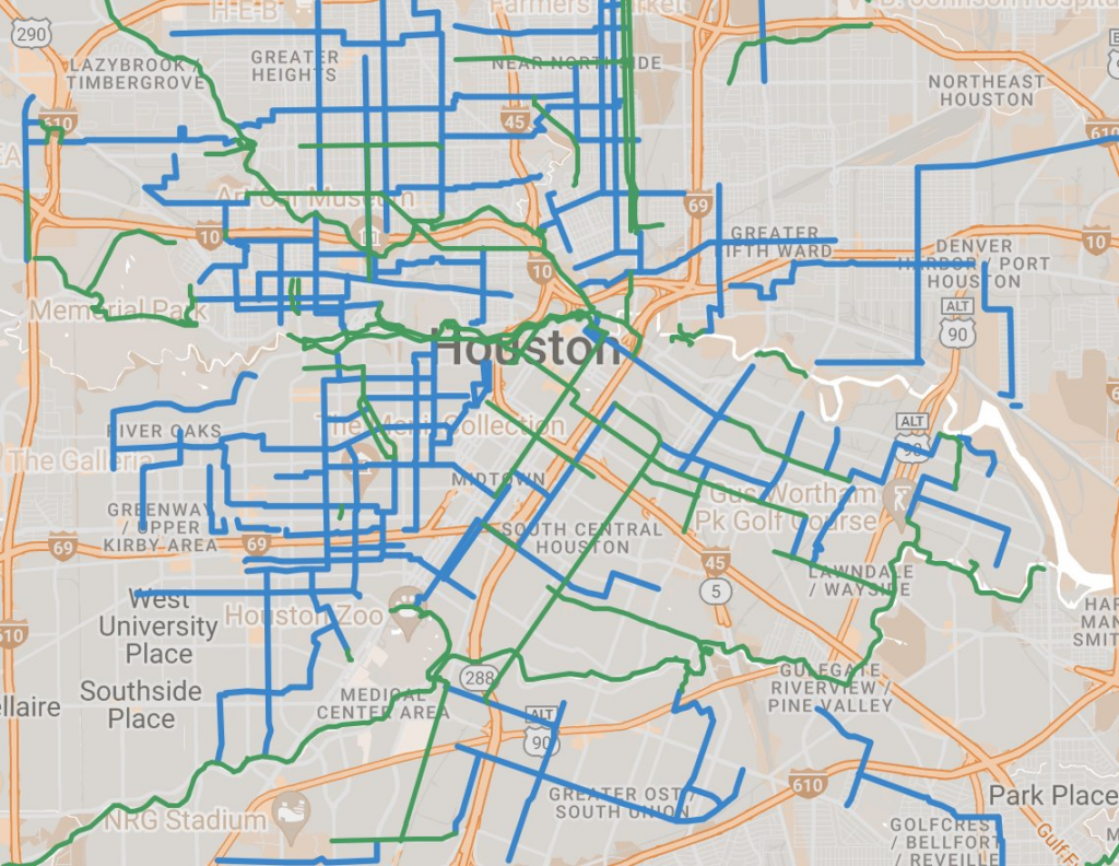
I’ve also begun mapping useful bits of sidewalk (purple) that i frequently use when there is no safe on-street or off-street option.
This is a work in progress–I would love to talk if you have input, thoughts, or want to help expand the map outside 610! If you’re interested in helping with routes, getting the word out, or even maybe talking about how to print it, please fill out this form, and I’ll reach out!
Leave a Reply